

By Jon Johnson
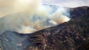
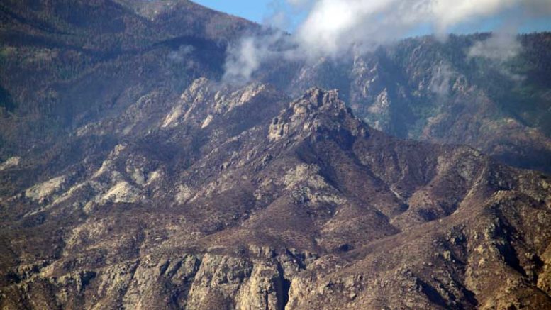
MOUNT GRAHAM – The Frye Fire burned 48,443 acres on Mount Graham and the recovery and reopening of burned areas will be a measured process.
Contributed Photo/Courtesy Katie Cluff: The Frye Fire burned 48,443 acres on Mount Graham.
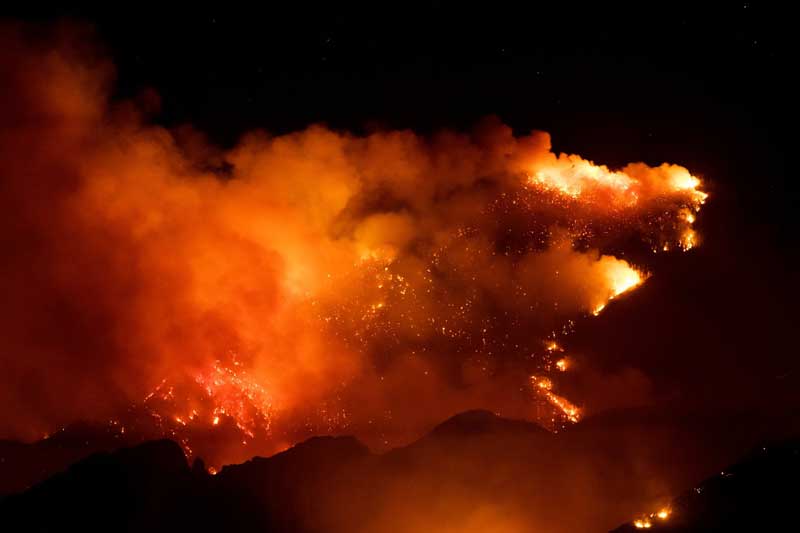
The Frye Fire was started by lightning June 7 at about 2:45 p.m. It started on the northern side, above Frye Mesa Reservoir and made its way over the top to the southern side, burning along the western and eastern edges of the mountain as well. While the initial threat of the fire has passed, having such an extensive burn area requires an assessment to move forward with preventive treatments and emergency stabilization from possible fire-related problems, including flooding from and soil erosion from loss of vegetation.
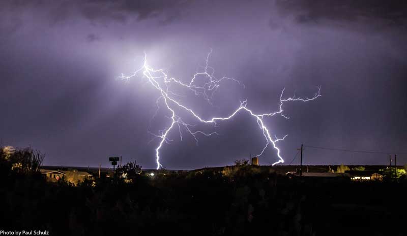
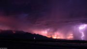
Contributed Photo/Courtesy Paul Schulz: Lightning lights up the sky Saturday night. The monsoon season has arrived in the Gila Valley, providing breathtaking lightning shows and bringing wind-blown rain.
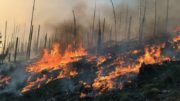
Back in April, Scott Glaspie, assistant fire management officer with the Safford Ranger District, warned of such a possibility on Mount Graham. He said about 100 years ago the Forest Service began indiscriminately putting out all fires. Tree ring analysis reveals that regular forest fires are a part of the natural ecosystem. Some plants, including the common Ponderosa Pine tree, need fire as often as every five years.
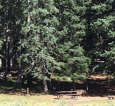
Contributed Photo/Courtesy Forest Service: Hospital Flat shows green trees. Photo was taken July 8.
Glaspie said every species needs fires. Regular fires keep the amount of burnable material, known as fuel load, low. However, with 100 years of fuel load accumulated, dangerous and harmful forest fires are now likely.
Management of the fire was transferred back over to the Safford Ranger District on Monday and a Burned Area Emergency Response team has been assessing the damage and how to best move forward.
The rain has helped stop the fire’s progression, but there are still some hot spots, on both the south and north sides of the mountain that are still actively burning. The burning is in inaccessible areas and is in a monitor status, according to Safford District Fire Management Officer Everett Phillips. He said while the campgrounds are looking good, the area is still not safe for the general public and the added precipitation increases the hazards. The Arizona Department of Transportation has been very active clearing roads on the mountain, especially in the Hospital Flat and Grant Creek areas.
“Grant Creek has a very big drainage and there are some fairly sizable trees that came down right in the middle of the road this morning, also the same around Hospital Flat,” Phillips said. “It’s not so much a fire danger now, it’s the flooding and hazard tree danger. That’s kind of our focus now. We’re going to do our due diligence to get this place opened up as fast as we can but we don’t want to do anything prematurely and open it up and have something catastrophic happen.”
A deadly flash flood took the lives of at least nine family members Saturday at the Cold Springs Swimming Hole near Payson. The search for a missing 27-year-old man was ongoing.
Nearly an inch of rain fell in less than three hours roughly 6 to 8 miles north of the scene and picked up debris from the recent Highline Fire as the burned area allowed runoff to sweep the waters through the canyon while other areas created a thick, viscous liquid filled with burned debris. Phillips said that is a scenario that they are trying to avoid by keeping the areas closed.
Another danger is the number of snags (dead standing trees), which firefighters are identifying and will then cut down and remove.
Phillips said overall the mountain has dealt with the fire well all things considered, and that less than 5 percent of the total burn was high severity.
Contributed Photo/Courtesy Forest Service: Ash Creek as pictured on July 8.
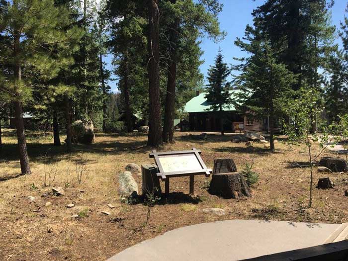
“Most of the campgrounds are in low with a couple having moderate fire behavior around them,” Phillips said. “(The burn) was very mosaic (and) burned things on the ground. The majority of the trees are still green, and they’ll be good around most of the campgrounds.”

Contributed Photo/Courtesy Forest Service: Soldier Creek pictured on July 8.
The lower portion of Highway 366 to Ladybug Saddle was reopened Friday morning. The reopening allows those with cabins at Turkey Flat to return and normal operations to resume at Angle Orchard.
Some of the recreation sites have also reopened, including Noon Creek Picnic Area and Wet Canyon Picnic Area and Upper and Lower Arcadia Campground. The Round-the-Mountain Trailhead and trails on West Peak, Ladybug Trail, Bear Canyon and Dutch Henry are also now open. All other campgrounds and trails remain closed until the order is rescinded.
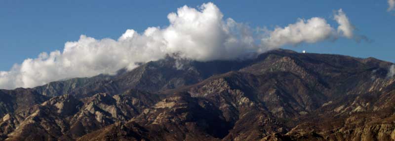
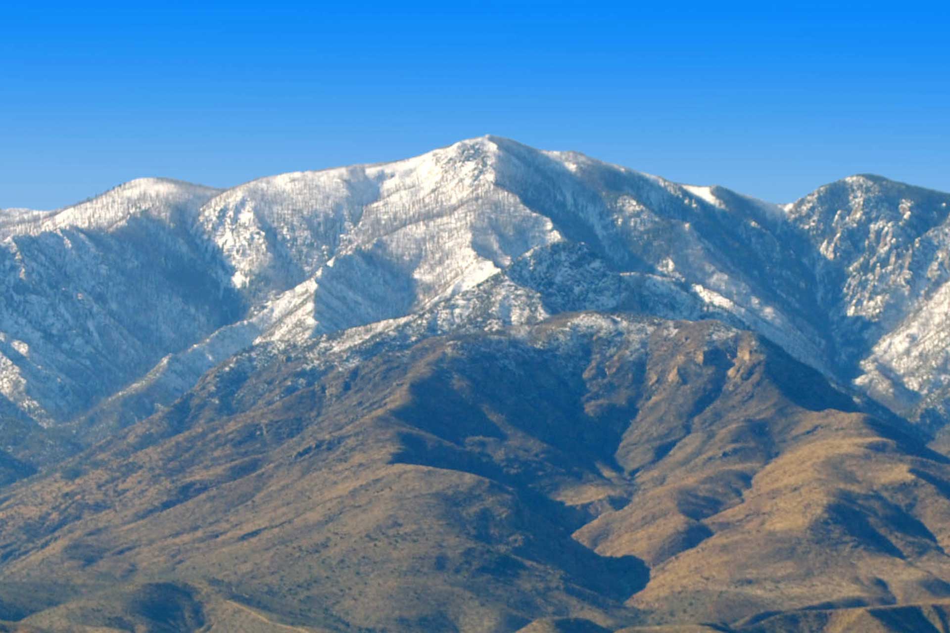
Jon Johnson Photo/Gila Valley Central: Clouds cover the peak of Mount Graham early Tuesday morning.