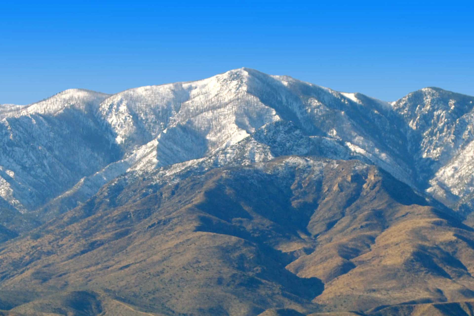
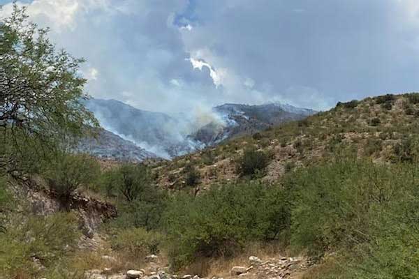


Based on aerial GPS mapping Tuesday afternoon, the Jackson fire grew an additional 1,200 acres during the previous 24 hours. Much of the fire’s growth occurred northward within the Santa Teresa Wilderness and adjacent BLM lands with the fire also making some movement along Four Mile canyon. Fire fighters were able to directly attack the portion of the fire on tribal lands as it burned into lower elevation sparse fuels and died out. Approximately 332 acres of the fire’s perimeter occurs on tribal lands where it is unlikely to continue burning.
Fire lines were under construction around the fire however steep, rough terrain on the west is challenging fire managers. Scouting continues in that area to locate defensible terrain features such as trails, roads, or continuous ridges. Firefighters continued point protection actions around structures along Black Rock road. At the southern end of the fire, crews constructed line westward along Four Mile Canyon.
Three crews and a fire use module are currently assigned to the fire. They have been supported by two helicopters and two engines along with five water tenders. Air tankers will be available as needed. Additional resources are arriving.
Today’s crew work assignments will be to continue to scout on the west, construct line and prepare it for possible burnouts on the north and south, and monitor and patrol the eastern portion. Line construction along Black Rock road continues westward for possible burnout if needed. Crews will also continue point protection work around structures and residences along Black Rock road. The fire continues to be managed with a full suppression strategy with minimal impact suppression tactics applied in the Santa Teresa Wilderness. Although resource advisors have identified no historic cultural sites within the fires planning area, fire fighters are vigilant for any indications of sites that might be identified as they construct fire lines.
Closures:The Black Rock Road is closed at the San Carlos Apache Reservation boundary.
Temporary Flight Restrictions: A temporaryflight restriction has been placed over the Jackson fire area.
Restrictions: Stage 2 fire restrictions are in place for Bureau of Land Management, Arizona State, and Coronado National Forest lands. These restrictions prohibit open fires, fireworks, welding, and target shooting and other activities.