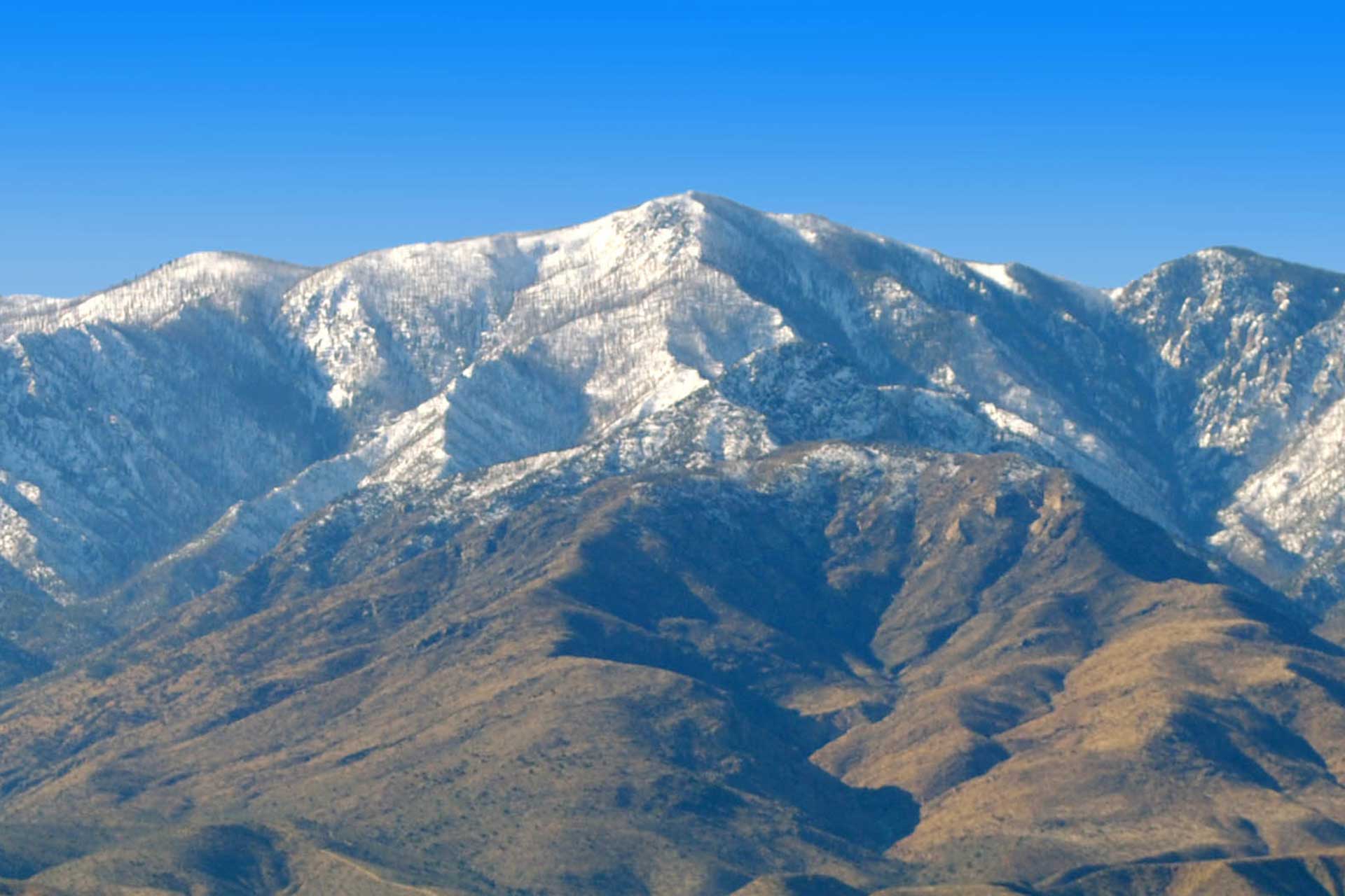
SAFFORD — The Bureau of Land Management’s Safford Field Office and Gila District Fire Management Program will conduct a one-day prescribed fire this month at the Guthrie Peak communications site, pending appropriate weather and seasonal conditions.
The prescribed fire will remove piled slash and debris from approximately seven acres of BLM-managed land near the Guthrie Peak communications site, located approximately 22 miles northeast of Safford.
The slash and debris were piled after vegetation was removed as part of a project to maintain fuel breaks that are designed to prevent damage from wildfires to communication towers and structures located at the site and to help wildland firefighters control any wildfires that may occur in the vicinity.
“Towers and structures located at the Guthrie Peak communications site are vital for utility operations, communications, and emergency response that local residents rely on,” said Roberta Lopez, acting field manager of the BLM Safford Field Office. “Maintaining fuel breaks is important to help reduce the risk of wildfires to the site.”
Fire crews will monitor the burned area during and after all prescribed fire operations. Prescribed fire information will be available the day of the burn at the Safford Field Office. For more information contact Dolores Garcia at dagarcia@blm.gov or 602-417-9241.


.jpg)