

Tucson, Ariz., (April 08, 2024) – The U.S. Department of Agriculture’s Forest Service is inviting the public to share feedback about the recreation management of five popular destinations across the Coronado National Forest. The Coronado National Forest has created an interactive map that provides a straightforward way to offer viewpoints about Peña Blanca Lake, the Huachuca Mountains, Cochise Stronghold, the northern Chiricahua Mountains including Cave Creek Canyon, and Mount Graham.
Feedback on these areas will be accepted until May 30, 2024, at https://www.fs.usda.gov/goto/RecreationPlanning. The results will be used to set priorities for day-to-day management and to plan for future projects related to camping, trails, picnicking, and other recreation activities.
In addition, three public in-person open house meetings have been scheduled. Each will run from 4:30 pm to 6 pm. Attendees will have the opportunity to visit with Forest Service personnel and leave comments.
- Wednesday, April 17: Safford Ranger District, 711 14th Avenue, Suite D Safford, AZ 85546
- Tuesday, April 30: Sierra Vista Ranger District, 4070 South Avenida Saracino Hereford, AZ 85615
- Wednesday, May 1: Nogales Ranger District, 303 Old Tucson Rd. Nogales, AZ 85621
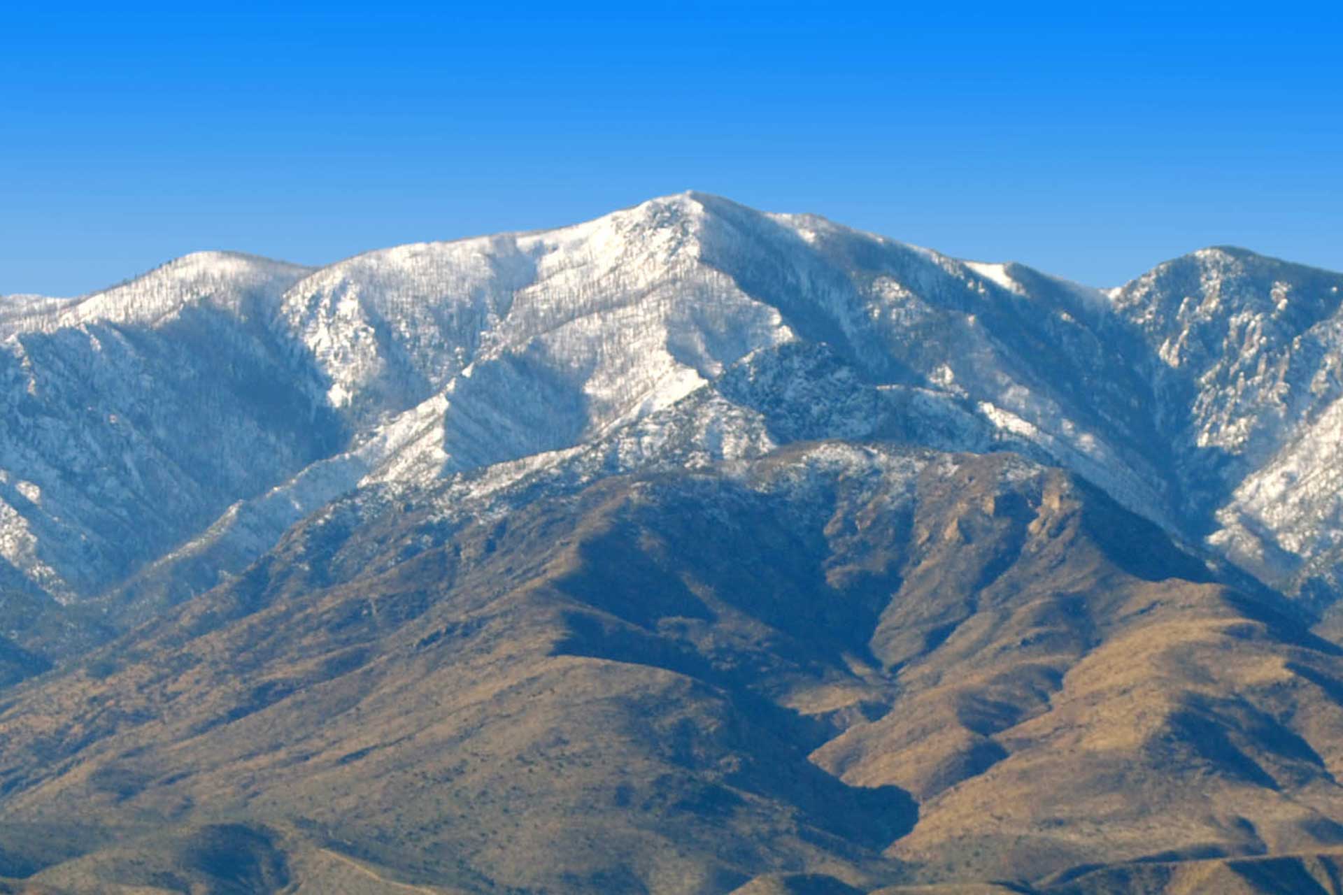
The Coronado National Forest spans sixteen scattered mountain ranges or sky islands that rise dramatically from the desert floor in southeastern Arizona and southwestern New Mexico. Recreation opportunities range from wilderness backpacking to lakeside picnicking. The Forest welcomes over 2 million visits each year.
“We wanted to create space for feedback and to listen to the public on how we are managing recreation in these important places,” said Kerwin S. Dewberry, Coronado National Forest Supervisor. “Ultimately, we want to get a sense of what opportunities visitors want improved.”