


Flooding from burned areas is a concern
By Jon Johnson

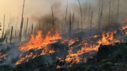
MOUNT GRAHAM – Rain has finally fallen on the Frye Fire on Mount Graham, helping lessening fire activities. However, additional days of rainfall is still needed to put the fire out, and with the rain comes the threat of flooding down below.
Public map of the Frye Fire
The Fire Fire grew slightly from yesterday to 48,435 acres with 72 percent containment and is still the largest wildfire currently active in Arizona. The Burro Fire near Tucson was listed at 27,238 acres with 51 percent containment as of Monday morning. That fire also received a significant amount of rainfall Sunday.
Frye Fire public information officer Penny Bertram said the meteorologist informed the firefighters it would take roughly three inches of rain to put the fire to rest and that if key areas received .25 to .5 inches of rain for three straight days that would do it as well.
Sunday’s storm brought .92 of an inch of rain to the Heliograph area, .10 of an inch to Columbine and .20 of an inch to the Turkey Flat area.
“So, that all helped greatly,” Bertram said. “There’s supposedly more moisture coming.”
With the rain brings more concerns regarding flooding and runoff of burned areas down to the valley below. A Burned Area Response Team has been working in the area for more than a week to determine if resource damage or human health and safety concerns exist.
“Now they’re really watching for the flash floods or the runoff-damaged areas, damage to the roads, damage to the culverts,” Bertram said. “They’re trying to determine what the resource damage is and how that is going to effect people downslope – their safety, their property and their lives even – so they are really looking at everything that can happen.”
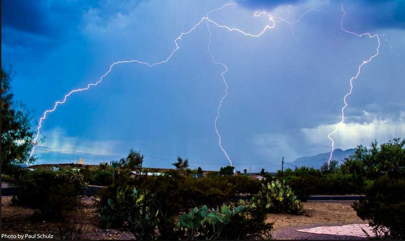
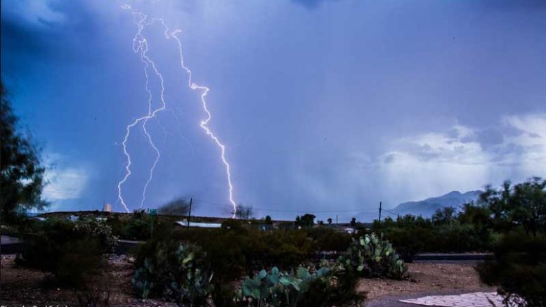
Contributed Photo/Courtesy Paul Schulz: The storm brought lightning as well but no new fire starts were reported.
The National Weather Service monitors the area and when danger is possible alerts are made. Those with smartphones can sign up to receive such an alert, much like an Amber Alert, on their phones by visiting www.floodsafety.noaa.gov.
Conditions of the mountain

Contributed Photo/Courtesy Forest Service: Riggs Lake still looks idyllic as of this picture taken July 8.
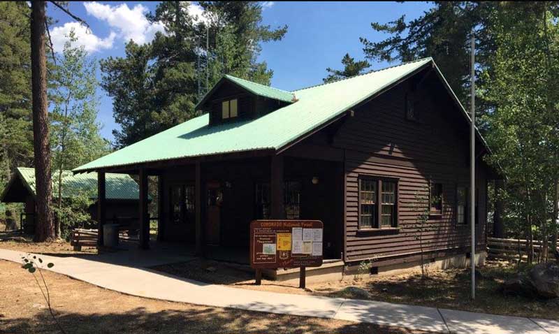
While the public has seen plenty of fire pictures and burned areas, the Forest Service has put links to various slide shows posted on its Facebook page showing various campgrounds and other popular areas of the mountain to show that it is not all burned to the ground and with the mosaic burn pattern there are plenty of places that were untouched or unharmed by the fire. The links can be found at https://inciweb.nwcg.gov/incident/5221/, or by visiting inciweb.gov and navigating to Arizona incidents and then Frye Fire.
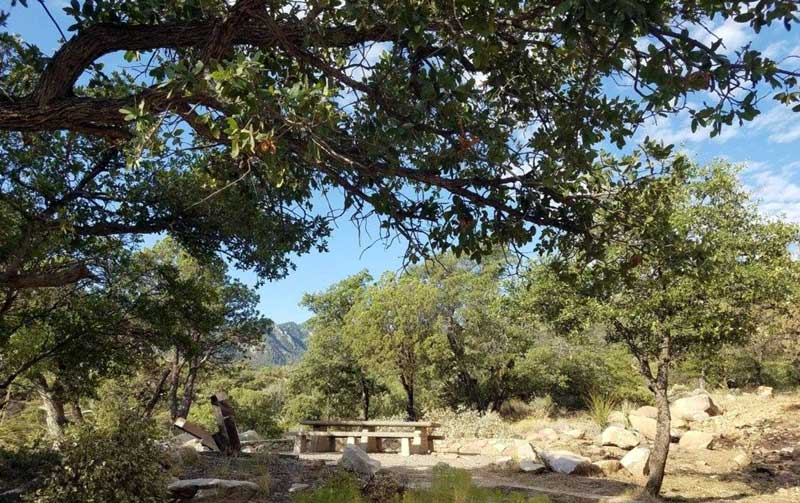
Contributed Photo/Courtesy Forest Service: This image taken July 8 shows the trailhead to Ash Creek.
There is still no timetable for when the public will be allowed back onto Mount Graham.
The Frye Fire was started by lightning at about 2:45 p.m. on June 7 and has cost roughly $23.1 million to fight it to date.
Contributed Photo/Courtesy Forest Service: The fire burned through Noon Creek, shown here on July 8, but the mosaic pattern left some areas unharmed.